

The paths of energy
US Grid GIS brings power lines, substations, published projects and large-load procedures together on one map. Inspect a source, follow a milestone, export the evidence.
An open-source map with API, CSV and GeoJSON exports. Available power and connection dates require confirmation from the utility.
US Grid GIS · the map and its sources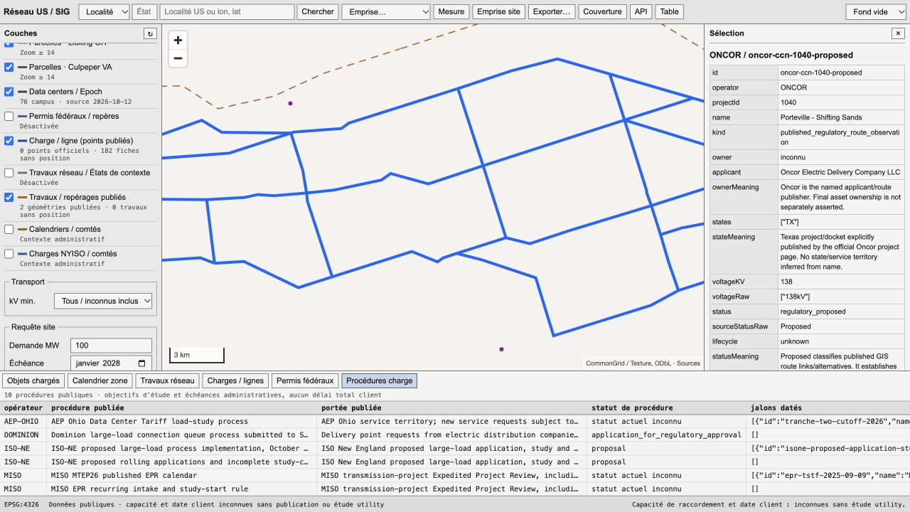
Explore the evidence, from a network line to its public source.